Greater Cleveland’s RTA Citizens Advisory Board approached DXY Solutions for ideas on how to best use the system’s new ability to track buses and trains in real time. We saw an opportunity to use this information to not only make transportation easier to use for people who already use it, but also to help make public transportation an attractive option for people who have a choice of transit modes. We realized that most navigation-based platforms are designed to answer the question “How can I get to where I want to go?” We created a design solution to answer not only that, but also “Where can I go from here?” In doing so, we intend to reframe the RTA so that it is not just a strictly utilitarian means of moving from point A to a predetermined point B, but also a means to explore and discover new things in the Greater Cleveland area.
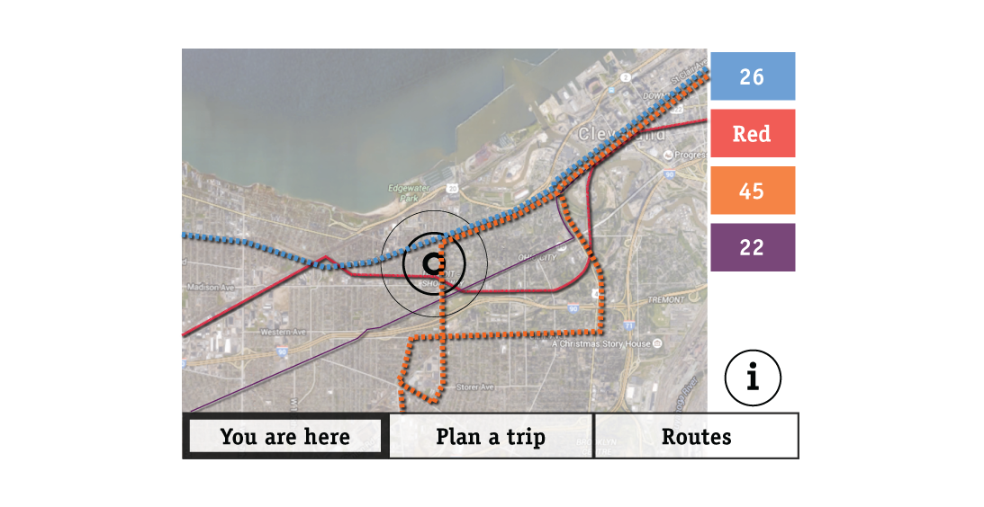
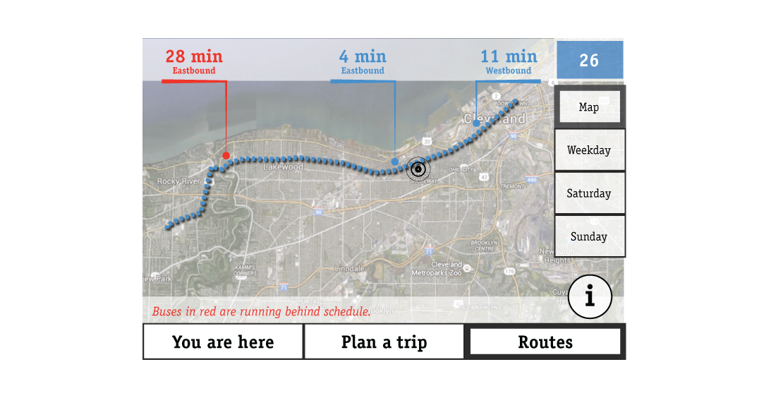
For this reason, the application opens to a map showing the user’s current location, along with all easily accessible bus and train routes. The scale of the map is intentionally wide enough to illustrate not only static location, but also the potential scope of the user’s spatial access.
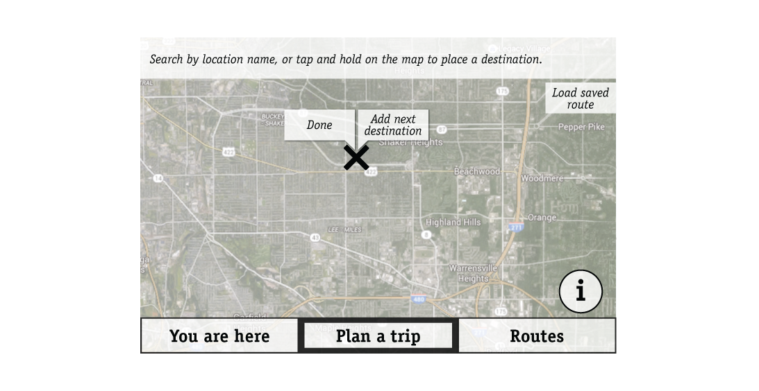
When the application focuses on a particular route, the user can see real-time bus and train locations as well as accessing schedules with one tap. The app also allows the user to plan multi-stop trips and save routes for future reference.