Reach is a plugin for QGIS that enables users to use travel time with a given means of transportation, rather than cartographic distance, to define proximity between points. It adds two new processing algorithms to QGIS: Select by Transit Time and Join by Transit Time.
Select by Transit Time allows the user to select features on a layer which are accessible from features on another layer within a specified amount of time, using a specified means of transit.
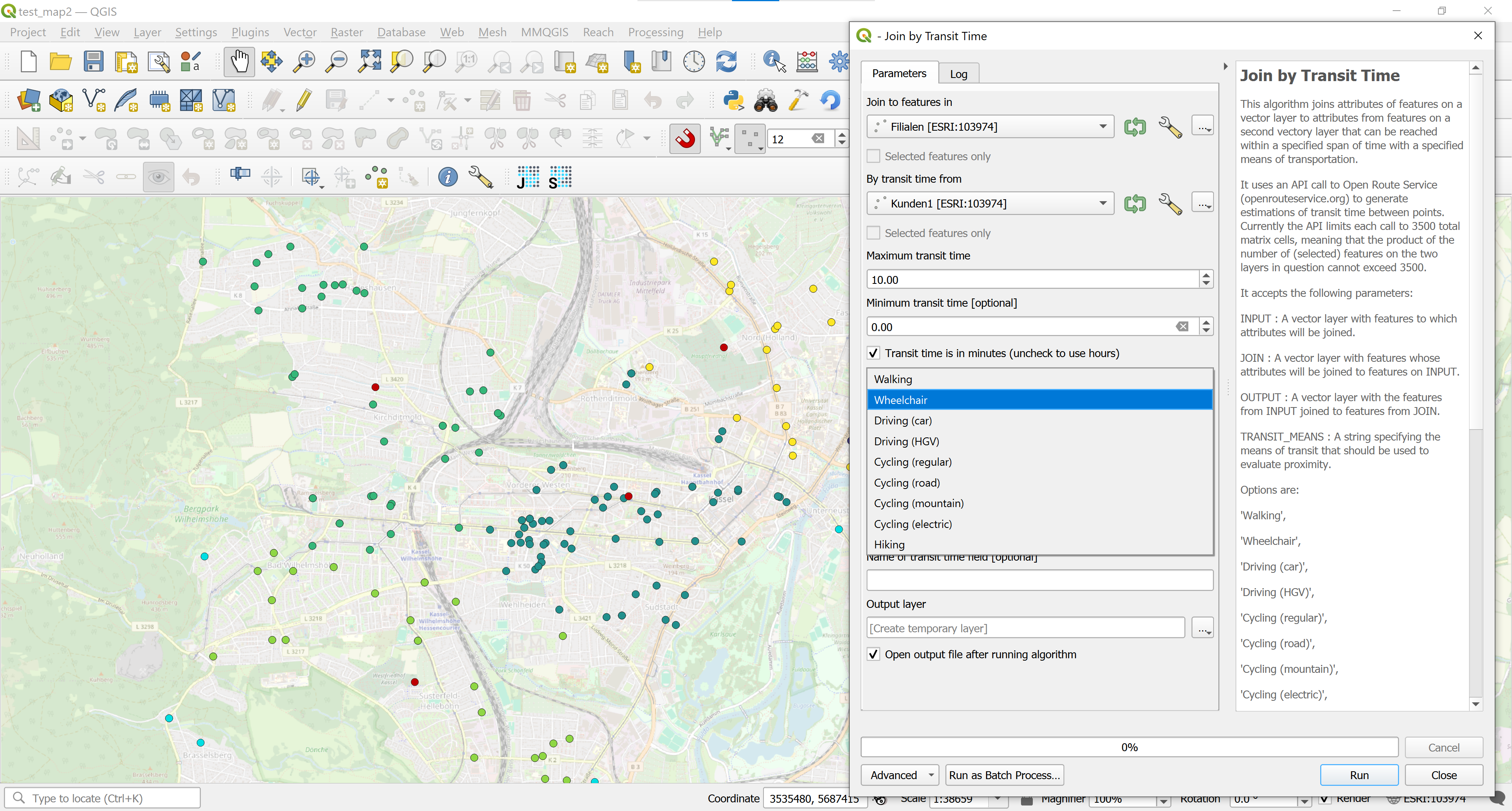
Join by Transit Time joins attributes from features on one layer to the closest features on another which are accessible with the user’s specified combination of travel time and means of transit.

Standard QGIS: Selection by 700m cartographic distance

Reach: Selection by 10 minute travel time on foot
Reach uses Open Route Service to calculate travel times. You can download it from GitHub or from the QGIS Plugin Repository.